Ipaki
Alander Mountain Trail
Abantu bendawo abangu-2 bayatusa,
Amacebiso avela kubantu bendawo

Jennifer
October 4, 2022
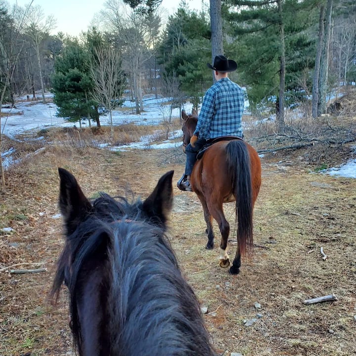
Trailhead: Begin your hike at the Mount Washington State Forest Headquarters Lat/Long: 42.085611, -73.461349 Distance: 6 miles round trip, Difficulty: Difficult Brief Description: The Alander Mountain trail climbs moderatly westward for 1.5 miles to intersect with the backcountry campground access trail. As you approch the summit after another 1.5 miles hiking becomes more difficlt. Spectecular views await you at the summit where the South Taconic Trail (white blazed) intersects. Return via the same route or head back through the backcountry campground to the Ashley Hill Trail.
Trailhead: Begin your hike at the Mount Washington State Forest Headquarters Lat/Long: 42.085611, -73.461349 Distance: 6 miles round trip, Difficulty: Difficult Brief Description: The Alander Mountain trail climbs moderatly westward for 1.5 miles to intersect with the backcountry campground access t…

Sharon
November 24, 2020
A rewarding, favorite hike
I-Alander Mountain Trail Kokokuzithokozisa kwe-Airbnb
Yazi le ndawo edumile eyingqophamlando Ngokokuzithokozisa kwe-Airbnb, okwenziwayo kwamaqembu amancane okuholwa abantu bendawo


Indawo
162 East St
Mount Washington, MA